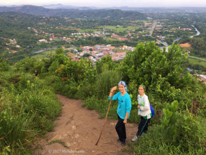
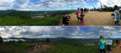
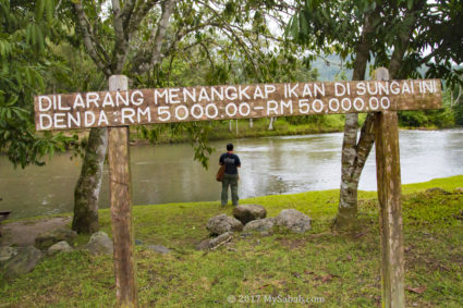
Tourism is defined [1] as “…the activities of persons travelling to and staying in places outside their usual environment…” Oh yea, travelling should be an extraordinary experience. If we go sightseeing like a typical tourist, everyone would see the same thing and go home telling the same story. Probably the only interaction between most tourists and the locals is waving hands to each other to and from a tourist bus.

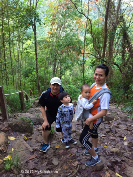
Group photo with Tambunan Valley in the background
Therefore, instead of staying in a hotel that looks no different to other hotels in your hometown, you may consider homestay. In hotel you are just a guest, in homestay you are a friend. Don’t just leave your footprint on a foreign land, leave a wonderful memory between you and the local people.

Sumazau dance by Dusun Tambunan youth
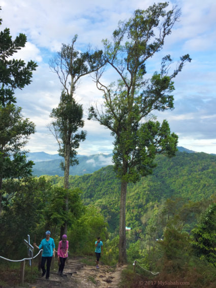
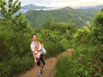
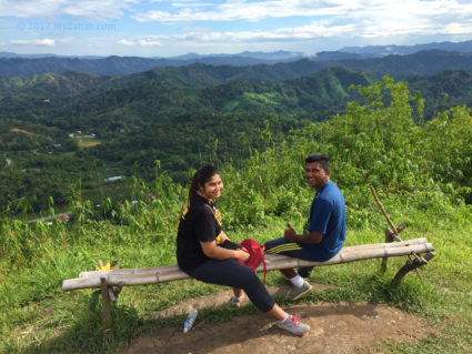
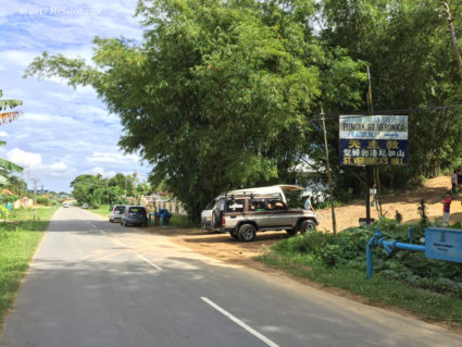
Last month I decided to live like a local in homestay of Kampung Sunsuron (“Kampung” is Village in Malay word) in Tambunan, a remote town 80 Kilometers away from Kota Kinabalu (KK), the capital city of Sabah. The mountainous landscape, cooling climate and scenic greenery earns Tambunan the nickname Switzerland of the East.
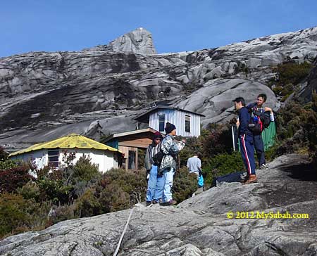
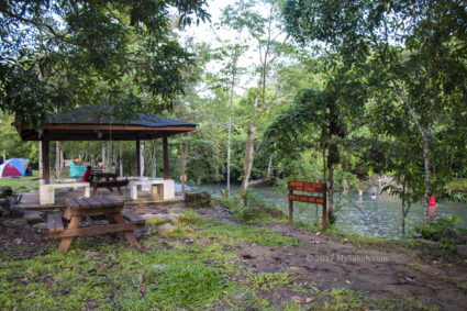
Sunsuron Village & Homestay
Tambunan is on a highland with average altitude of 750 Meters, so it is refreshing and can be quite chilling at night. Besides, it’s a land uninvaded by McDonald’s and Starbucks, where you can appreciate more authentic cultural experience and village lifestyle.

One of the houses of Sunsuron Homestay
More than 130 years ago, the Sunsuron area was uninhabited, because it was a hot zone of headhunting and tribe wars. In 1885, British North Borneo Chartered Company established police base in Sunsuron to end the unrest.

Bamboo is everywhere in Tambunan, and this is not by accident.
Thanks to Taliban and the bygone British colonial government, Tambunan is also known as the Valley of Bamboo. When peace was restored in 1930s, flourishing agriculture and development created huge demand for bamboo, which caused over-harvesting and led to more shortage of bamboo.

Welcoming traditional dance for the guests of homestay
Therefore, OKK Taliban, the first Native Chief of Tambunan, worked with Peter Lupang Tingkalus from Tambunan Forestry Department, to implement a policy requiring everyone to plant ten bamboo for every bamboo cut [2]. This worked so well that thriving bamboo has became an icon of Tambunan.

Welcoming gong by villagers
The name Sunsuron is the slip of the tongue over time from the Kadazan Dusun word “Sunsuyon”, which means bridge. There was a bamboo bridge for the villagers to cross the Sunsuron River at that time. The host of our homestay is Mr. Peter Gatulik and his wife. Peter is a retired police officer and his children had grown up and live somewhere else, leaving some empty rooms that he is happy to offer to traveller who wants a home away from hometown.
Gastronomic Adventure
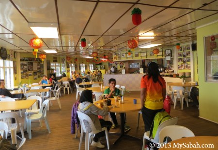
Homestay in Sabah means more than cheap accommodation. You live like part of their family. It’s not a hotel where you can find bellboy or your favorite sweet-and-sour food.

“We have everything except pizza and muffin. Please make yourself at home.”
You eat what they eat. No salad but tuhau; No salmon but basung; No red wine but lihing. None of our exotic food tastes like chicken. Enjoy the acquired taste!

Traditional appetizer (from left): Serunding Tuhau, Tuhau and Bambangan
In Sabah culture, food is important for building friendship, so your host will make sure that you are well-fed. For traditional appetizers, you would be given hinava (fish slices marinated in lime juice), tuhau (a type of wild ginger) and bambangan (pickled mango-like fruit).

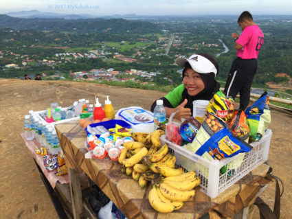
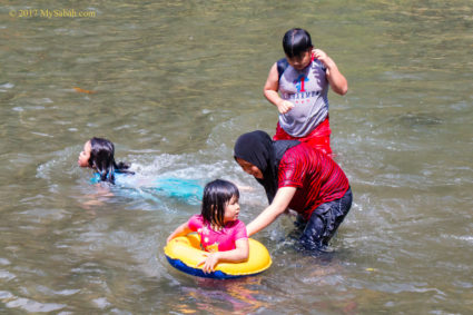
Feast on local food
Hinava is a “safe choice”. For first timers, tuhau can either taste like stink bug or food from heaven to them. No matter what, Tambunan is famous for Tuhau, so at least take a bite, or you can try Serunding (Deep-fried) Tuhau, a less potent version of tuhau.

Broth with wild banana stems (umbut pisang)
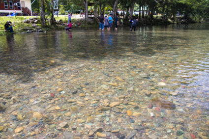
You are lucky if it is the season for getting Borot (a type of small freshwater fish) and Birid (horn shell) from local river. Both are delicacy only available in rural area. Our traditional dish could be a bit of culture shock to you, but just be open-minded. You don’t travel a long way to Sabah just to eat hotel food right.

Linopot: rice and food wrapped in leaf
Just for fun, they also serve linopot, which is rice wrapped in big leaf. In the past, farmers and hunters brought linopot with them to the field and used the leaf as a plate.

Steamed Tilapia fishes
Tambunan is an agricultural district, so the meals of homestay usually comprise fresh and organic vegetables from local plantation. You would find that almost every house in village has a mini-farm and fish pond besides garden.

Lihing (left) and Tapai (right) are rice wines of Sabah
The villagers are very friendly, so it’s quite likely you would be offered a couple of drink. You may love the idea of warming up your body with locally brewed liquor in the cool evening, or you can politely decline if you don’t drink, no problem at all.

Beer and banana fritters as our breakfast lol
Normally beer and wine are not included in homestay unless you request. Anyway, you would be invited to wedding or festival celebrations if there is any nearby, so be prepared.
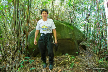
Turtle Rocks
Village is an excellent source of folk stories about strange things, but I was surprised that there is a weird “treasure” in the front yard of my host. Interestingly enough, it’s a rock, not gold or gem.

A pair of “turtle” rocks that look like carapace. It’s Ms Bibiana beside them.
More than two decades ago, Peter was on duty and patrolled around Pamol, Sandakan. A contractor was digging the ground to build a house near to a river, and pair of strange rocks were unearthed. Peter found the rocks very beautiful because they looked like the carapace of a turtle. Since nobody wanted them, he took them back home and left them at the staircase.

The turtle rock is quite heavy
The amazing rocks generated a lot of curiosity and the news spread. The rocks were even featured in Mystic magazine. Then a Chinese from Peninsular Malaysia offered RM30,000 (≈USD$7,300) to buy the turtle rocks. Even though the offer was irresistible, Peter cherished such serendipity and decided to keep them.

The value of these rocks is almost worth a car!
Before leaving, this buyer was kind to advise Peter that it’s more auspicious to place these rocks near the water. Probably this has something to do with Feng Shui, as tortoise or turtle is a sign of longevity and water symbolizes wealth.

Bottom of the Turtle Rock
Therefore, Peter put these rocks at the fish pond in his front yard. OMG I can’t believe he just leaves the RM30,000 rocks laying around like that. The whole village knows about these rocks, but for 20 years nobody steals them. Btw, Peter also welcomes anyone to study these rocks and tell him why they are so special.
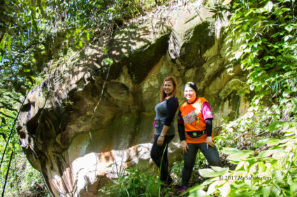
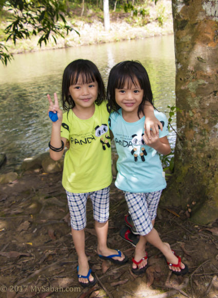
Anyway, Bibiana, the daughter of Peter showed me more unbelievable things in Kampung Sunsuron, when we toured around the village later.
House of Skulls
In the past, the people of Sunsuron practised head-hunting to defend their territory. The skull was kept as a war trophy which locals believe was endowed with supernatural power and would protect the owner. Some said whenever their enemies approached their village, these skulls would shout to warn the people.

Checking out the House of Skulls
Most of the 35 skulls were the followers of Mat Salleh and collected during his last battle with British at Tambunan plain in 1900. These skulls were used to be hanged or placed in a wooden hut that didn’t last and always required repair, so a concrete head house was built, next to Spiritu Tobitua Church and a burial ground, in June 1959 by Y.N. Gampin to house the skulls.

The Head House is next to Spiritu Tobitua Church of Kampung Sunsuron
The locals call this head house Sunsuron Guritom. Guritom means black people in Kadazan Dusun language, because Mat Salleh’s followers had darker skin than Sunsuron people. One of the skulls belong to Sambatangan, the most-wanted hero of the enemy, whose head is said as big as a bucket. The head house is still standing today (GPS Location: 5.742147, 116.377498, see Location Map or Street View), but the skulls are gone (a local says some of them are buried under the head house) because somebody stole them for use in black or white magic.

The plan of head house is almost square (about 1 Meter in width and height), and the roof is in the form of pyramid, with an apex surmounted with a concrete image of a skull.
According to a research [3], at least half of the skulls were female, the majority being either young or very old, while some 10 percent of the remainder are adolescent boys.

An old skull belongs to a headhunter (now kept by Sabah Museum)
In early days, you must ask head-house keeper to take you to visit the head house. If you go alone you must pay 2 dollars sogit (fine) to the village. People who disturb the skull would become sick, insane, or worst, die.

Inscription on the Head House
The elder villagers would tell you that the village used to perform ritual to feed and appease these skulls annually. Villagers were required to contribute some money to share the cost of buying food such as buffalo. If the ritual was postponed, people would hear the noise of chattering teeth from the skulls, it was freaking scary when there was no lamppost at night that time. However, villagers were too poor to feed them, so the last ritual was performed in 1970s, with Bobolian (native priest) declared to the skulls that there would be no more feeding.
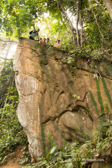
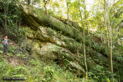
Watu Tinuridung the Bulletproof Stone
Just a stone’s throw away from the Head House is the historical Watu Tinuridung Stone (GPS Location: 5.742725, 116.378539. See Location Map). According to oral tradition of Kampung Sunsuron, this stone was found in late 19th century, the time Mat Salleh revolted against the British ruling.

This menhir is 2.13 Meters high with an average thickness of 23 cm.
In 1898, Mat Salleh agreed to ceasefire (Palatan Peace Pact) with British North Borneo and stayed in Tambunan. However, Mat Salleh was hostile to Kampung Sunsuron, and he raided the village. Mat Salleh was more well-equipped with weapons such as cannon, so Kampung Sunsuron was asking for help from British government.

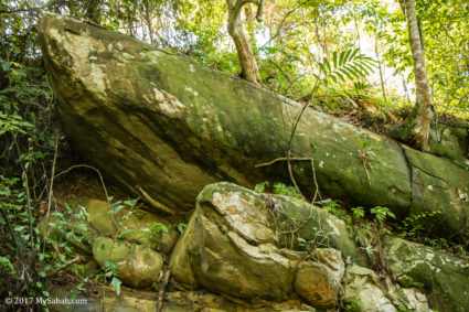
This Watu Tinuridung stone was part of a 40-Meter circular defensive site. I found no bullet mark on the stone though.
The men of Sunsuron also prepared to defend themselves by digging a circular hollowed-out area, which has a circumference of 40 Meters, and used the earth to erect ramparts around it [4]. The excavated area was deep enough to hide standing men behind the wall. While digging they saw this large and flat stone and thought it’s an excellent shield for firearm. They erected the stone to make it stood.

Mat Salleh was defeated by the British force in 1900 with the help of Sunsuron warriors (Actually he was shot by a Maxim machine gun)
In local dialect, the action of erecting something is called monuridung hence this stone was named Tinuridung. Then two priestesses (bobolian) performed a ceremony to invite the spirit to reside in this stone as a guardian to keep the village away from any sickness and harm.

A car uses Watu Tinuridung stone as a shield to sunlight haha
Until today, some villagers believe a friendly spirit is still living inside Watu Tinuridung. Probably for this reason they don’t remove the stone, and it also becomes a memorial to commemorate the brave Sunsuron warriors who perished in the war.
Traditional Tambunan House
There is a traditional Tambunan house beside Watu Tinuridung Stone (GPS Location: 5.742818, 116.378591. See Location Map). This house was a real residence but now vacant after it was gazetted by Sabah Museum as a heritage house.

A traditional Tambunan house in Sunsuron Village
The bamboo house is raised on hardwood stilts, sometimes large river stones are used instead. Though the window is small, the translucent quality of bamboo allows enough light to get inside the house.

The double pitched roof made entirely of interlocking bamboo shingles is the main characteristic of Tambunan bamboo house [5]
The beauty of this house is it was first constructed without using any nail. The wood, bamboo and poles are lashed together with rattan strips. However, after the ongoing maintenance, some nails are added to the structure.

Sirang is main part of the house, where residents eat and entertain the guests
This is a 100% wooden house, and most of the floor and wall are made of bamboo. There were many taboos in house building. For example, bamboo should not be taken during the time of full moon, and it’s bad luck to orientate the house entrance to the path of the setting sun, which is associated with death.

The top is where the girls sleep, or is used as a storeroom (dumpang)
For safety reason, young girls overnight in an attic (Linimput), a small platform built above the house’s main cross-lintel, and parents would remove the ladder that accesses their room. The rattan knots that bind the wood together are already an art. I wonder how many people can tie these knots nowadays.

Wood tied by rattan. Note how they join two poles together in photo at the left.
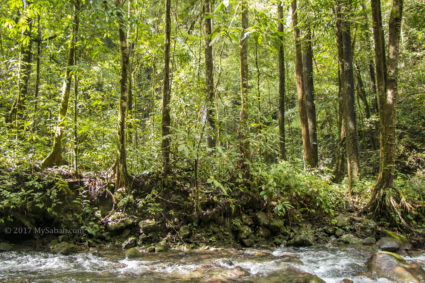
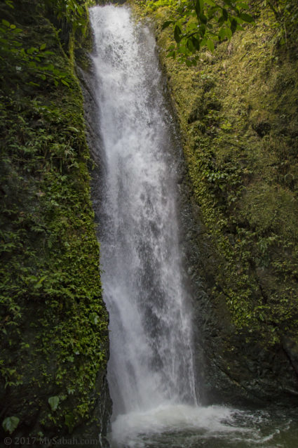
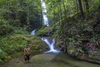
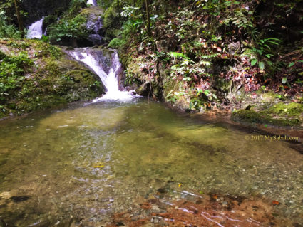
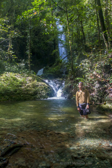
Sunsuron is awesome huh? Currently, there are 18 families participated in Sunsuron Homestay (Muslim host available). The standard rate of accommodation (with 2 meals) in homestay is RM85 per day (≈US$21/day). You can request your host to organize more activities (additional fees applied) such as visiting Mahua Waterfall, Mt. Trus Madi, Batu Gong Rock and Rafflesia Information Center, biking, birding, fishing and hiking.
The following is the contact of Sunsuron Homestay. You are advised to book the tour earlier instead of walking in:
Facebook: ValleyOfSwitzerland
E-mail: sunsuronstay@yahoo.com
Sunsuron Homestay’s Coordinator: Ms Bibiana P. Gatulik (Cellphone: +60 14-6792148)
References
- Definition by World Tourism Organization (UNWTO)
- Source: Bamboo Planting in Tambunan, by Rahim Sulaiman
- For further reading: Head-hunting and the Magang Ceremony in Sabah, by Peter R. Phelan, published by Natural History Publications (Borneo), ISBN-13: 978-9839638158
- See Traditional stone and wood monuments of Sabah
, by Peter R. Phelan, ISBN-13: 978-9839722031
- More Info: The Tambunan Bamboo House in Local and national History, by Richard Nelson Sokial, Vol 23 – The Sabah Society Journal – (2006)
 , by Peter R. Phelan, ISBN-13: 978-9839722031
Photos taken in Tambunan, Sabah, Malaysia Borneo
You might also like:
The post Sunsuron Homestay in Tambunan, the Valley of Bamboo appeared first on MySabah.com.


 ) file of the route map to see full detail.